
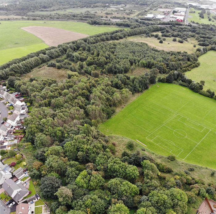
Ardeer Quarry Local Nature Reserve, with the former nylon plant site behind and Highfield Drive/Kilwinning Road to the left.
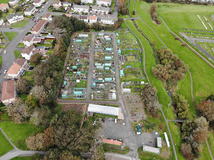
The top end of Stevenston from Ardeer Rec, with the overgrown walled garden of Ardeer House in the foreground, and the solar farm just discernible near the top right of the frame.
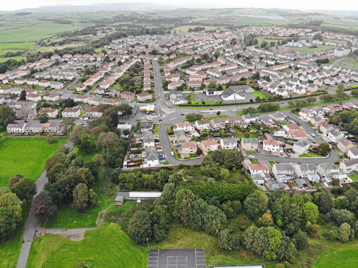
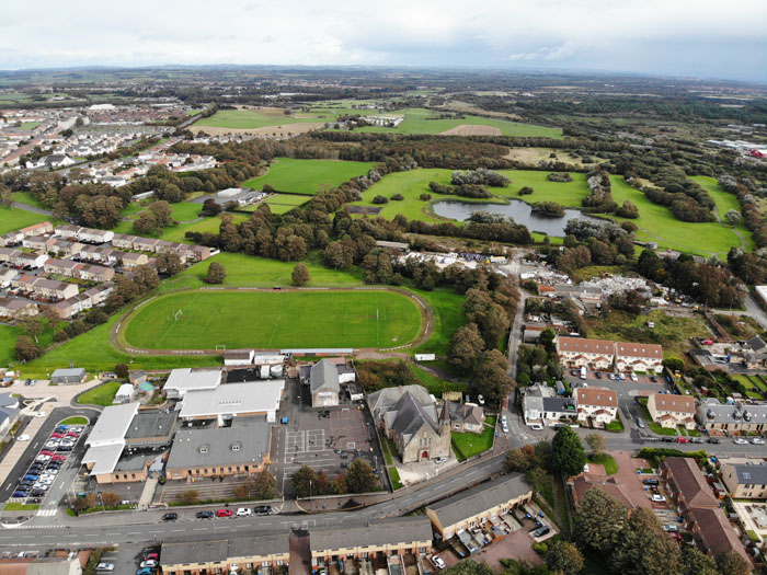
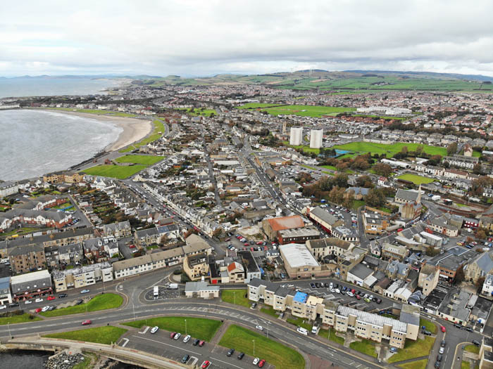
Looking over Hillcrest Drive to the town centre.

A pinewood on the Ardeer Peninsula

The mudflats and saltmarsh on the Ardeer Peninsula. The saltmarsh is the green area in the foreground covered in brackish pools. This estuary contains the largest saltmarsh in Ayrshire.

Iain